This topic provides an overview of rendering geographic imagery in the background content of the XamGeographicMap™ control.
The following table lists the topics required as a prerequisite to understanding this topic.
This topic contains the following sections:
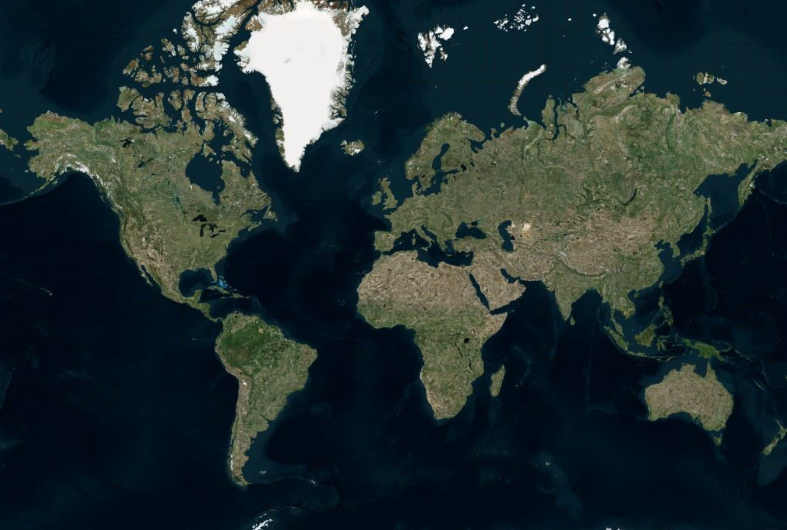
Geographic imagery is a detailed representation of the world from a top view perspective. It can consist of an aerial-satellite map or road maps in a multi-scale imagery tiles structure. The XamGeographicMap control can display geographic imagery in order to provide end-users with rich and interactive world maps and geographic context for geo-spatial data.
The XamGeographicMap control can display geographic imagery tiles from three supported mapping services or from other mapping services that can be easily implemented in an application.
The following table summarizes supported and custom geographic imagery sources for the XamGeographicMap control.
The XamGeographicMap control’s BackgroundContent property is used to display all supported types of geographic imagery sources. For each geographic imagery source, there is an imagery class used for rendering corresponding geographic imagery tiles.
The following table summarizes imagery classes provided by the XamGeographicMap control.
By default, the BackgroundContent property is set to OpenStreetMapImagery object and the XamGeographicMap control displays geographic imagery tiles from the Open Street Maps service. In order to display different types of geographic imagery tiles, the XamGeographicMap control must be re-configured.
The following is a list of topics that provide information on how to display different types of geographic imagery tiles:
In addition, the BackgroundContent property can be set to any object that inherits the class. However, only objects that inherit the GeographicMapImagery class will allow panning and zooming of the map background content.
In the XamGeographicMap control, map background content is always rendered behind all geographic series. In other words, geographic imagery tiles are always rendered first and any geographic series in the XamGeographicMap control’s Series property is rendered on top of the geographic imagery tiles. This is especially important when displaying multiple geographic series in the same plot area of the XamGeographicMap control because geographic imagery tiles can quickly get buried in the map view. For more information on this, refer to the following topics:
This code example explicitly sets BackgroundContent of the XamGeographicMap control to the OpenStreetMapImagery object which provides geographic imagery tile from the Open Street Maps.
In XAML:
<ig:XamGeographicMap x:Name="GeoMap">
    <ig:XamGeographicMap.BackgroundContent>
        <ig:OpenStreetMapImagery />
    </ig:XamGeographicMap.BackgroundContent>
</ig:XamGeographicMap>
In Visual Basic:
Dim GeoMap As New XamGeographicMap()
Me.GeoMap.BackgroundContent = New OpenStreetMapImagery()
In C#:
var geoMap = new XamGeographicMap();
this.geoMap.BackgroundContent = new OpenStreetMapImagery();The following topics provide additional information related to this topic.