
The xamMap™ control provides support for rendering geographical imagery. The control’s MapTileSource property is used to configure the source from which geo-imagery is loaded. Using the XamMap control, you can also display different layer types of geo-imagery; for more information please see Display Different Layer Types. Currently, geo-imagery is supported from the following external geo-imagery sources:
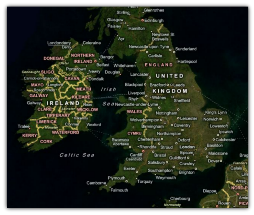
Bing Maps is a licensed web mapping service from Microsoft® and as result you will need to get your own credentials before you can start using it with the xamMap control. You can access this service directly on www.bing.com/maps web site. For more information on integration of BingMaps geo-imagery with the xamMap control, please see Binding Bing Maps section.
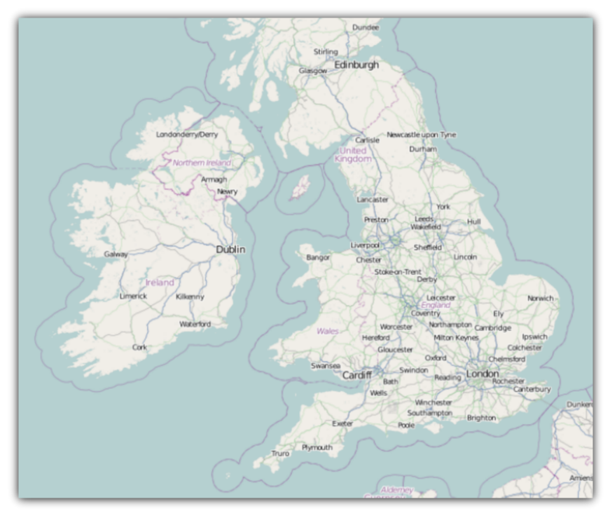
Open Street Maps is a free web mapping service created collaboratively by people around the world. You can access this service directly on www.openstreetmap.org web site. For more information on integration of OpenStreetMap geo-imagery with the xamMap control, please see Binding Open Street Maps section.